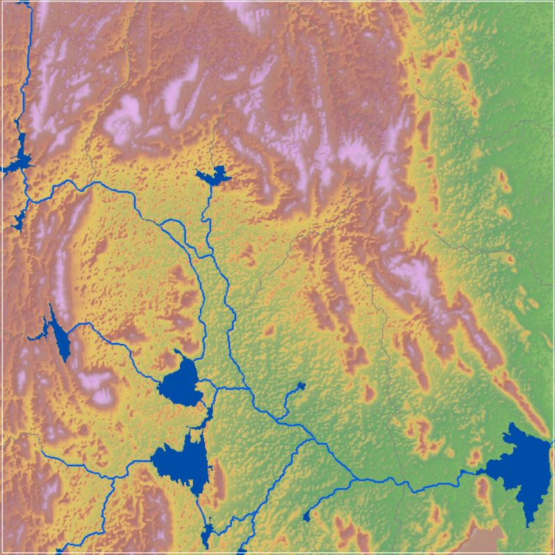
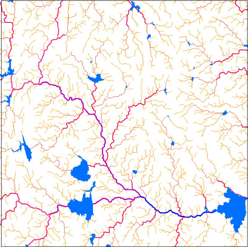
Drainage Network
Drainage network includes all the stream channels that drain toward a reference point. The network is bounded by a topographically defined drainage divide; precipitation falling on the far side of the divide flows down slope into an adjacent drainage network.The streams of the study area have been ranked according to Strahler’s classification (Strahler, 1957). Drainage patterns produced by stream erosion over time that reveal the types of rocks and geologic structures in a landscaped area drained by streams. The drainage pattern in Ayad river basin is mostly dendritic and sub-dendritic, but a radial type of drainage can be seen on Amberi hill near by the Mewar Biodiversity Park, Amberi (Udaipur). The dendritic pattern is most common, develops in areas where the rock or non-aggregated material beneath the stream has no fabric or structure and can be eroded equally easily in all directions. In the radial drainage system, the streams radiate outwards from a central high point. Volcanoes usually display excellent radial drainage. The radial drainage pattern in Ayad river basin is noticed on calcareous quartzite rock of Aravalli supergroup.
Dataset
(1) Drainage Network (2) Drainage Network ClipSource: Drainage network of the study area has extracted from SRTM DEM data with 30 m spatial resolution by using Spatial Analyst Tool in ArcGIS-10x software.
Related images
Drainage Network
View more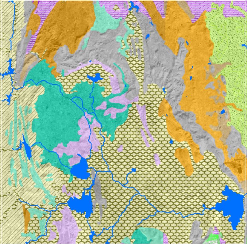
Geology and Lithology
View more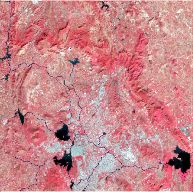
Landsat Satellite Imagery
View more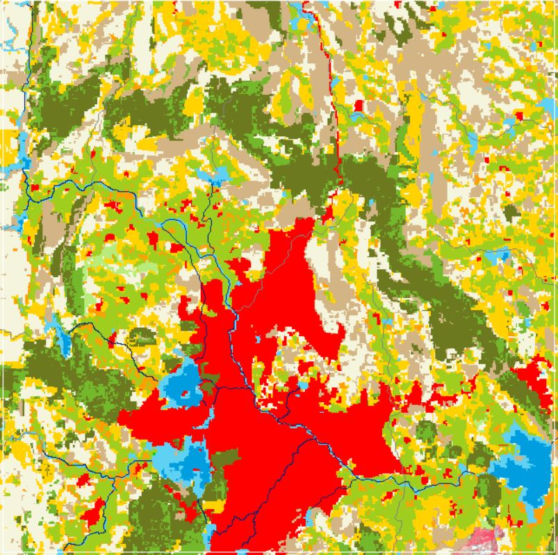
Land Use and Land Cover
View more.png)
Rainfall and ET
View more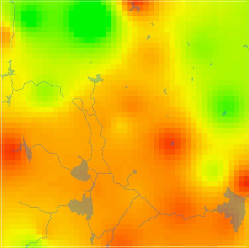
GW DTWL Data
View more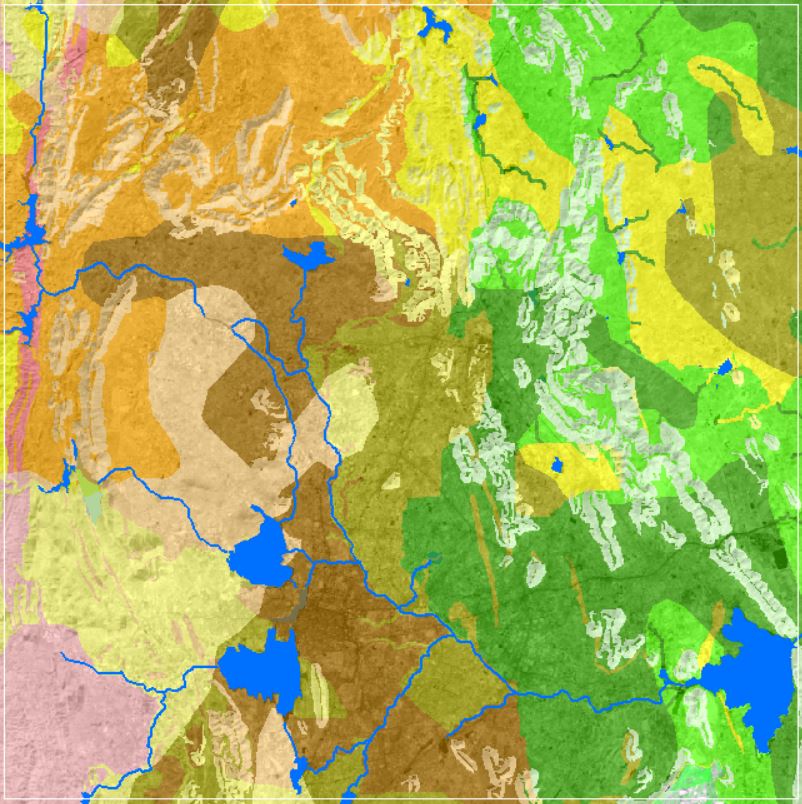
Soil Texture Data
View more